- Shop
- [Set of Early Road Maps of Wisconsin]
[Set of Early Road Maps of Wisconsin]


[Set of Early Road Maps of Wisconsin]
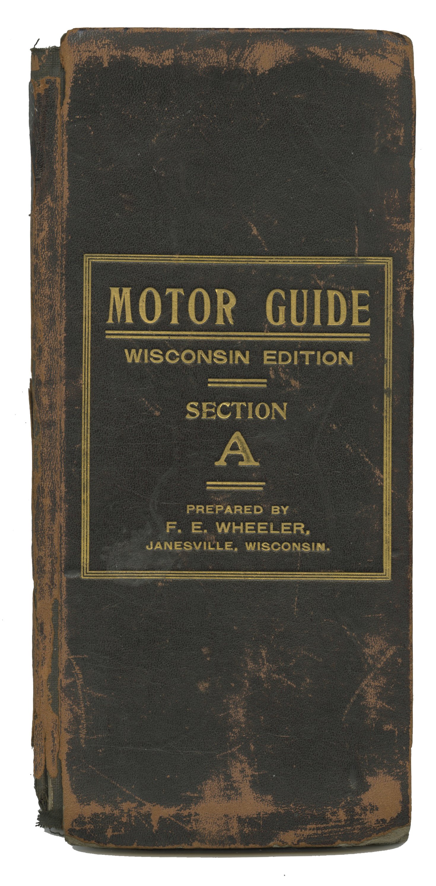
A brass-era automobile roadway map of Wisconsin and the earliest known published on the state: A lettered set of five folding maps uniformly bound in leather over boards with attribution to an itinerant cartographer named F.E. Wheeler. Ownership inscriptions within each volume by a Milwaukee attorney named J.M.W. Pratt are dated 1907 and the maps roughly document the eastern portion of the state between Madison and Milwaukee (and smaller towns and cities nearby and between).
These appear to be repurposed USGS topographical maps. Each is trimmed into an approximately 8 1/2" x 87" section, joined and linen-backed into a folding panorama with routes hand-marked in red pencil. We note sporadic mention of Wheeler as a mapmaker active as early as 1901 in Iowa and record as early as 1905 of a MOTOR GUIDE publication based out of Chicago, the joint venture of two noted Good Roads advocates named Robert W. Spangler and Sidney J. King, whom Wheeler seems to have worked with in drafting this Guide to Wisconsin.
The University of Wisconsin-Milwaukee holds a 1913 road map of the state produced by the Geographical Publishing Co. of Chicago and the Wisconsin Department of Transportation launched an online archive of historic road maps in 2023, noting 1916 as the first year for an official Highway Map. This otherwise unrecorded guide pre-dates each of these by at least six years, surviving as a remarkably early Midwestern automotive road map and rare, worthy example of the output of the unheralded MOTOR GUIDE series of Spangler and King.
WHEELER, F.E. : [Maps] : [Automobilia]. MOTOR GUIDE: Wisconsin Edition [Cover Titles - Set of Early Road Maps of Wisconsin]. Janesville, Wisconsin: [ca. 1907]. Five folding maps uniformly bound in approximately 9" x 4 1/4" volumes designated "A-E", each with leather over boards and gilt-stamped title lettering to fronts. Each with an approximately 87" x 8 1/2" folding topographical map section backed with cloth. Exterior leather with moderate wear, most pronounced at spines. Each booklet with an ownership signature in ink and routes written in pencil. Overall a well preserved set, about good-plus.
